

I. The families who drew the streets
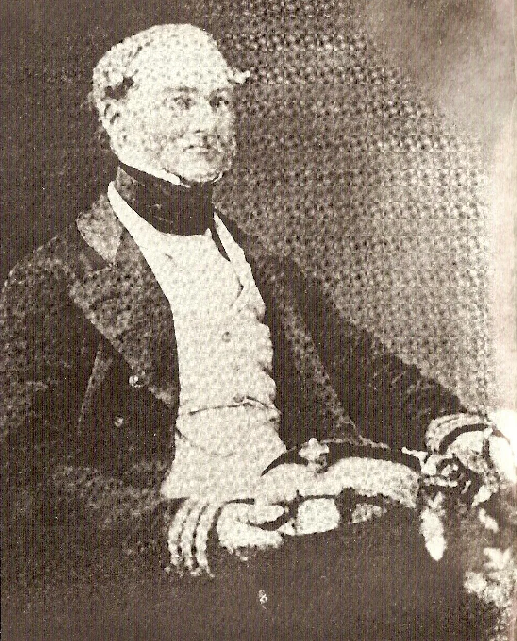
Image: Pierre-Olivier Combelles, CC BY-SA 3.0, via Wikimedia Commons
Begin in 1832, with a Dutch nobleman standing at a river mouth. Carel Lodewijk, Baron van Tuyll van Serooskerken, had bought a large holding in the Huron Tract from the Canada Company, and he set aside 388 acres here for a town. He named the river and the town after the man who had surveyed the shore and recommended it to him: Admiral Henry Wolsey Bayfield, the Royal Navy hydrographer who charted the Great Lakes. A harbour built in the 1870s turned the plot into a working port, first for grain and then for fish, with whitefish and pickerel from Bayfield finding a steady market in Toronto, New York and Chicago. In 1876, with more than 800 residents, Bayfield was incorporated as a village. Its Main Street still follows the baron’s plan, and the Little Inn on that street has been taking guests since the 1830s.
East of Bayfield, Stanley Township filled from 1836 with settlers from the Scottish Borders and the Isle of Skye, then English families, with a few German Lutherans and Mennonites among them. By 1850 the township counted more than 2,000 people. Their hamlets, Varna, Brucefield, Kippen, Goshen, Bannockburn and Drysdale, are still crossroads with a church, a hall and a cemetery full of McTavishes, Wanlesses and Rathwells.
South of them, in 1854, Frederick Knell, a Swiss of German descent, laid out a townsite on lot 21, concession 11 of Hay Township and named it for the city he had left. He opened the post office, a general store, a grist mill and a sawmill, and served four years as reeve. Zurich became the only true German-speaking settlement in Huron County, doubling from 300 to 600 people between 1860 and 1875. Bishop John Oesch, the first German settler in Hay, brought the Mennonite congregation; the Hay Township Hall went up in 1860; the clock in St. Peter’s Lutheran tower, in the village of clockmaker George Hess, still keeps the time.
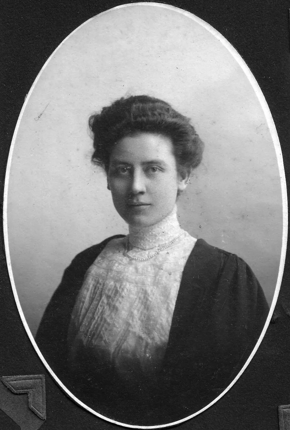
Image: public domain, via Wikimedia Commons
And in the 1870s, two brothers from Hensall, Yorkshire, who had emigrated in 1851, made the single shrewdest decision in the municipality’s history. George and James Petty gave land valued at ten dollars an acre to the London, Huron and Bruce Railway on condition that the line pass through their village. It did. With their elder brother John they introduced Shorthorn cattle and Leicester sheep to Huron County and ran the largest packing plant in Ontario in the late 1870s. Hensall became a police village in 1884, its market was called the best west of Toronto by 1888, and George C. Petty, the brothers’ nephew, was its first reeve. Robert Bonthron came from Rodgerville in 1876 to open a store his family and the Drysdales would run for generations; Joseph Wedge founded a moving company in 1878 that is still the oldest in Ontario. From a farm outside the village came Dr. Jennie Smillie Robertson, who graduated in 1909 and became Canada’s first female surgeon.
Names carried forward: van Tuyll, Bayfield, Knell, Oesch, Hess, Petty, Bonthron, Drysdale, Wedge, Smillie, Rathwell, McTavish, Wanless.
These are the names on the plaques, and they earned them. But the baron bought his land from a company, and the company bought it from the Crown, and the Crown got it from someone. To tell this story properly we have to go back much further than 1832.
II. Before any of it
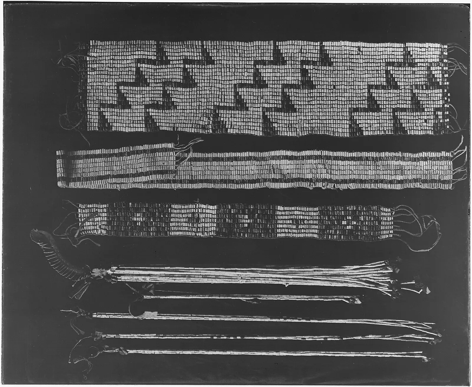
Image: U.S. National Archives, public domain, via Wikimedia Commons
Before there was a Bluewater, a Huron County, or a Canada, there was this shore, and there were people on it. Archaeological evidence places human beings here at least 13,000 years ago, when the glaciers had barely retreated and the lake was still finding its edges. On the Bayfield River flats, in the fields above them and on the beach itself, people have found projectile points, scrapers, adzes, axes and a grooved mallet: the working tools of families who speared sturgeon in the river each spring, netted whitefish on the shoals each November, hunted the bluffs each fall and tapped the maples between. Those tools are the oldest deeds to this place, and they predate every survey stake by hundreds of generations.
This was, and is, Anishinaabe country. The Ojibwe, Odawa and Potawatomi, the Three Fires, knew the eastern shore of Lake Huron as a through way between the Ohio Valley and Lake Erie to the south and Michilimackinac, where three Great Lakes meet, to the north. They shared and sometimes contested it with Iroquoian peoples, the Attawandaron or Neutral Nation and the Huron-Wendat, whose name the lake and the county carry without most residents knowing it. The nations governed their relationship under the Dish with One Spoon wampum: one dish, one spoon, no knife; take what you need from this ground, leave enough for the others, and do it in peace. It is as good a stewardship covenant as any farm family has written since, and it was in force here long before the word Ontario existed.
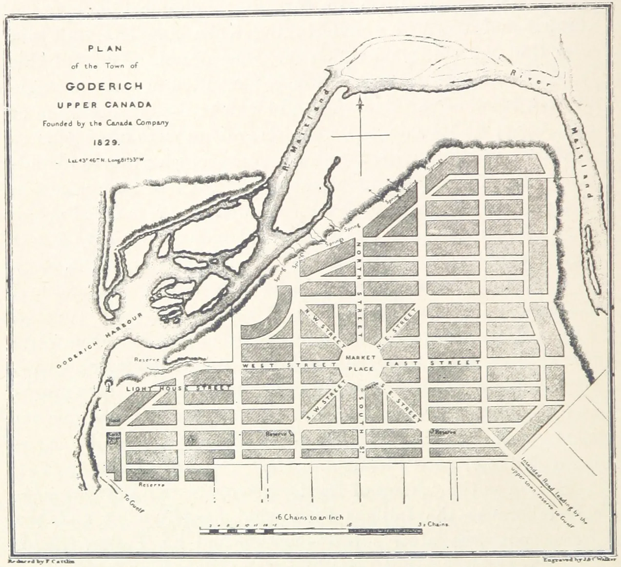
Image: The British Library, no known restrictions, via Wikimedia Commons
Then came the document that made the baron’s purchase possible. On July 10, 1827, eighteen Anishinaabe chiefs signed the Huron Tract Treaty, Treaty 29, ceding more than two million acres between Lake Huron and the Thames in exchange for perpetual annual payments and reserves at Kettle Point, Stony Point, Sarnia and Walpole Island. The Crown had already arranged to sell a million of those acres to the Canada Company a full year before the treaty was concluded. In the 1840s and 1850s the Crown’s own agent, Joseph Brant Clench, embezzled thousands of pounds of the land-sale proceeds owed to the Chippewas of Sarnia. The farms of Hay and Stanley, the streets of Bayfield, Zurich and Hensall, all of it rests on that treaty and on how it was kept. Reverence for the land, if it is to mean anything, has to include reverence for the people from whom it was taken and the terms on which they agreed to share it.
III. After the war: a reserve taken, a province drilling
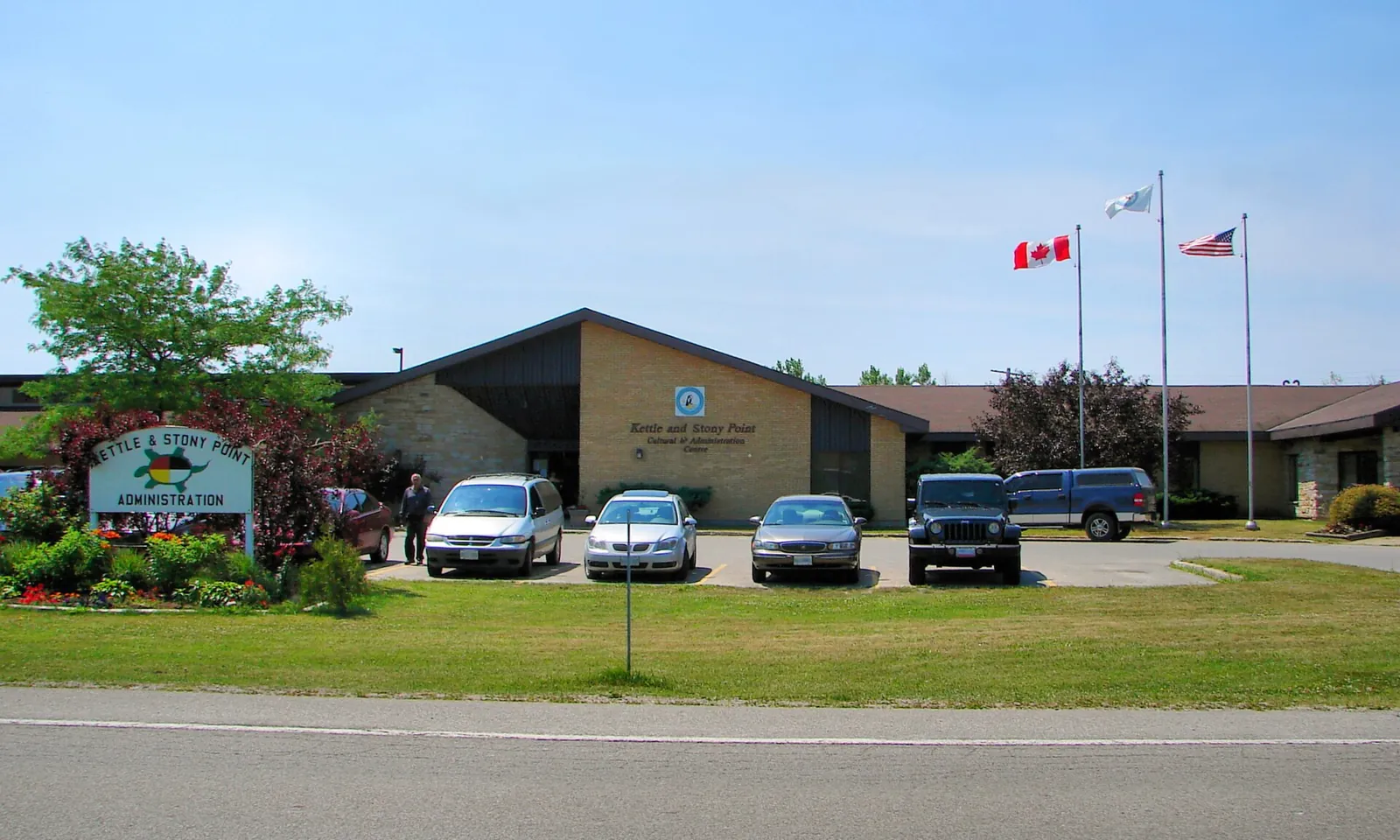
Photo: P199, CC BY-SA 3.0, via Wikimedia Commons
Now jump forward a century. In April 1942, under the War Measures Act, Canada seized the entire Stony Point reserve, on the Lake Huron shore just south of Bluewater, to build an army training camp. Families were given three days’ notice and moved onto the already crowded Kettle Point reserve. Ottawa promised the land would be returned after the war. It was not. The war ended in 1945 and the camp stayed. The people who had been evicted grew old and died waiting; their children and grandchildren took up the demand. In 1995, Stony Point members occupied the adjoining provincial park, and on September 6 of that year an Ontario Provincial Police officer shot and killed Anthony “Dudley” George, who was unarmed. The Ipperwash Inquiry that followed, from 2003 to 2007, laid out how a wartime seizure had festered for half a century. Only on April 14, 2016, seventy-four years to the day after the expropriation, did Canada and the Chippewas of Kettle and Stony Point sign a final settlement: $95 million, and a commitment to clear the former camp of unexploded ordnance and return it, parcel by parcel, to the reserve. The clearing is still underway. The land is still coming back. In the autumn of 2020, more than ninety percent of Kettle and Stony Point voters, and a similar majority at Aamjiwnaang, accepted a $35.7 million settlement of the Clench claim, repayment, with 170 years of interest, of the money stolen from the sale of this very tract.
The same postwar decades that left Stony Point in limbo sent a different kind of crew across the fields of Huron County: geologists. Southwestern Ontario is the birthplace of the North American petroleum industry, and between 1950 and 1960 companies ran gravity surveys up and down the Lake Huron shore looking for places where the deep salt beds thinned, a sign of a buried reef that might hold gas. Seismic followed. In Lambton County, just south, the method found one pool after another, culminating in the Moore discovery of 1977, which flowed gas at 31 million cubic feet a day from 750 metres down. Huron County’s own pools proved fewer and more modest, and the provincial well library still lists the county as lightly drilled, with the reefs under the lake itself an open question that Ontario’s ban on Great Lakes drilling keeps closed. But every landowner in Hay and Stanley learned something in those years: the deed describes a column of rock as well as a field, and what is under the clay can matter as much as what grows in it.
IV. What lies beneath
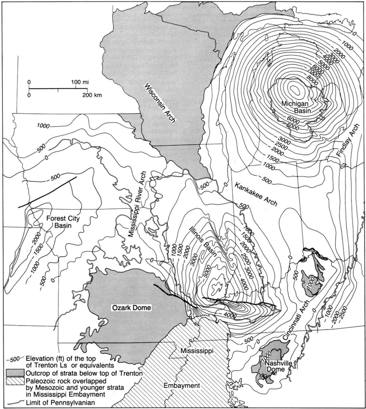
Image: Collinson et al., Illinois State Geological Survey, CC0, via Wikimedia Commons
To understand why, go down. Under the clay loam sit roughly a kilometre of Paleozoic sedimentary rock laid down on the eastern rim of the Michigan Basin, a vast bowl of ancient seabed centred under the state of Michigan and tilting gently west beneath Lake Huron. Some 420 million years ago, in the Silurian period, this was a warm, shallow tropical sea. Reefs grew on its floor, were buried, and were then capped by thick beds of salt and anhydrite as the sea evaporated. Those buried reefs, the Guelph pinnacle reefs, are porous limestone and dolomite sealed on top by salt that nothing can leak through. They are natural stone tanks, 300 to 700 metres down, and the reef belt runs through Lambton and Huron counties.
Where the trap is right, those tanks hold natural gas and oil. Where they have been emptied, they are refilled: the same reefs under Lambton are pumped full of gas each summer and drawn down each winter as storage for the whole province. The salt above them had its own story first. In 1866 the first salt solution well in Ontario was drilled at Goderich, just up the shore, and the Goderich mine still works that Salina salt beneath the lake, the largest underground salt mine in the world. The bluffs at Bayfield are the top of that same stack of rock, cut open by the lake; the clay that makes the farmland is the glacial skin on top of it. The value of Bluewater has never been only in the top metre.
V. The most productive ground in Ontario, and the people still on it
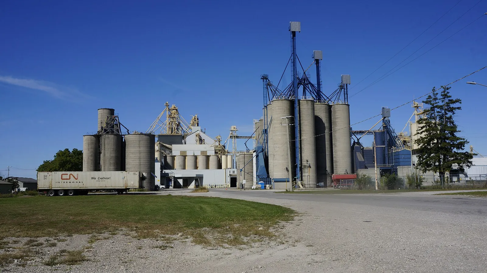
Photo: JFVoll, CC BY-SA 4.0, via Wikimedia Commons
Come back up to the surface. The reverence Bluewater’s families feel for the soil is earned. Huron County is the most agriculturally productive county in Ontario: 2,564 farms working 681,476 acres, averaging 266 acres each, generating about $1.4 billion a year in farm cash receipts and holding more than $12 billion in capital assets. The county leads the province in soybeans, corn and hogs. Bluewater’s share is the deep, well-drained clay loam of the Hay and Stanley concessions, flat enough to tile and close enough to the lake for a long, moderated season.
One crop above all belongs here. Ontario grows roughly 120,000 acres of dry beans, and the white navy bean grown around Hensall and Zurich is shipped to Japan, the United Kingdom and more than forty other countries. In 1937 a group of Huron County farmers founded the Hensall District Co-operative to market their own harvest rather than sell to brokers. Today Hensall Co-op is one of Canada’s largest non-financial co-operatives, with more than 6,000 member-owners, and its elevators are still the tallest thing on the skyline. The village calls itself the White Bean Capital of Canada, and no one disputes it. The Hensall Kinsmen cooked the first Ontario Bean Festival on Labour Day 1954; Zurich answered in August 1966 with forty volunteers and a bean kitchen, and the Zurich Bean Festival still fills the fourth Saturday of August with more than a hundred vendors, a pork chop and baked bean supper, and one of the province’s largest classic car shows.
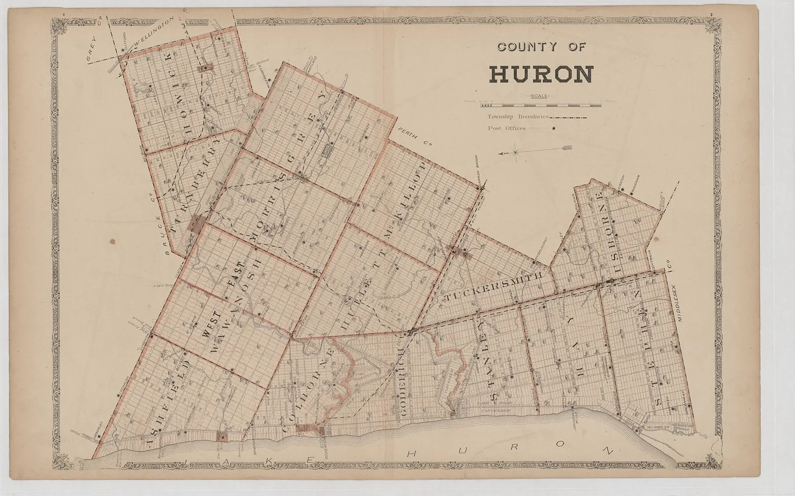
Image: H. Belden & Co., 1879, public domain, via Wikimedia Commons
The families are still here. Gary Flaxbard, a great-great-grandson of Bishop Oesch, gives talks on the German settlement of Hay Township. Farms in Stanley and Hay pass to the fourth and fifth generation, and the names on the mailboxes along the concession roads are the names on the 1879 county atlas. Most of Huron County’s farms have no written succession plan, which worries the county, but the unwritten one has worked for a century and a half: the land stays in the family, and the family stays on the land.
The newest harvest on that land is wind. Lake Huron gives Bluewater an unobstructed fetch of open water to the west, so the westerlies arrive strong and steady; the land is flat, open, held in large parcels, and already crossed by transmission lines toward London. When Ontario’s Green Energy Act of 2009 offered twenty-year fixed-price contracts, developers came to exactly this ground. Bluewater Wind, 59 megawatts, went live in 2014; NextEra’s Goshen Wind, 102 megawatts, followed in 2016 across Bluewater and South Huron; Northland’s Grand Bend Wind, 99 megawatts, began the same year just south, in partnership with the Aamjiwnaang and Bkejwanong First Nations, descendants of the Treaty 29 signatories now holding equity in the wind over the land they ceded. The turbines divided neighbours, and several county councils declared themselves unwilling hosts; the lease payments also kept more than one family farm whole. Both belong in the record.
VI. A coast that learned to welcome
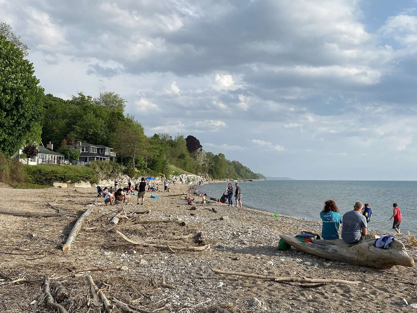
Photo: WabbitWanderer, CC BY-SA 2.0, via Wikimedia Commons
Bayfield’s harbour became a marina; the fishing village became a destination of galleries, inns and restaurants in heritage storefronts. In 2015 both the Main Beach and the marina raised Blue Flags for water quality and stewardship, a distinction fewer than thirty Canadian beaches hold. Three sandy beaches, Pier, Howard and Houston Heights, are reached by wooden staircases down the bluff. Pioneer Park, on the bluff’s edge, privately owned and kept for the public by the Pioneer Park Association, is where residents and visitors gather every clear evening for the sunset, and where the Bayfield Historical Society has placed Admiral Bayfield’s charts on view.
The development has been careful. Bayfield kept its village scale and its trees; Zurich kept its Swiss face, the white-and-brown facades added from the 1970s on; Hensall kept its elevators and its rail-side grid. Huron Shores Area Transit now links all three with Goderich and Grand Bend, and the county markets the whole stretch as Ontario’s West Coast, a hundred kilometres of shoreline and fifteen beaches. Bluewater holds the finest of it.
VII. What the lake gave, and still gives
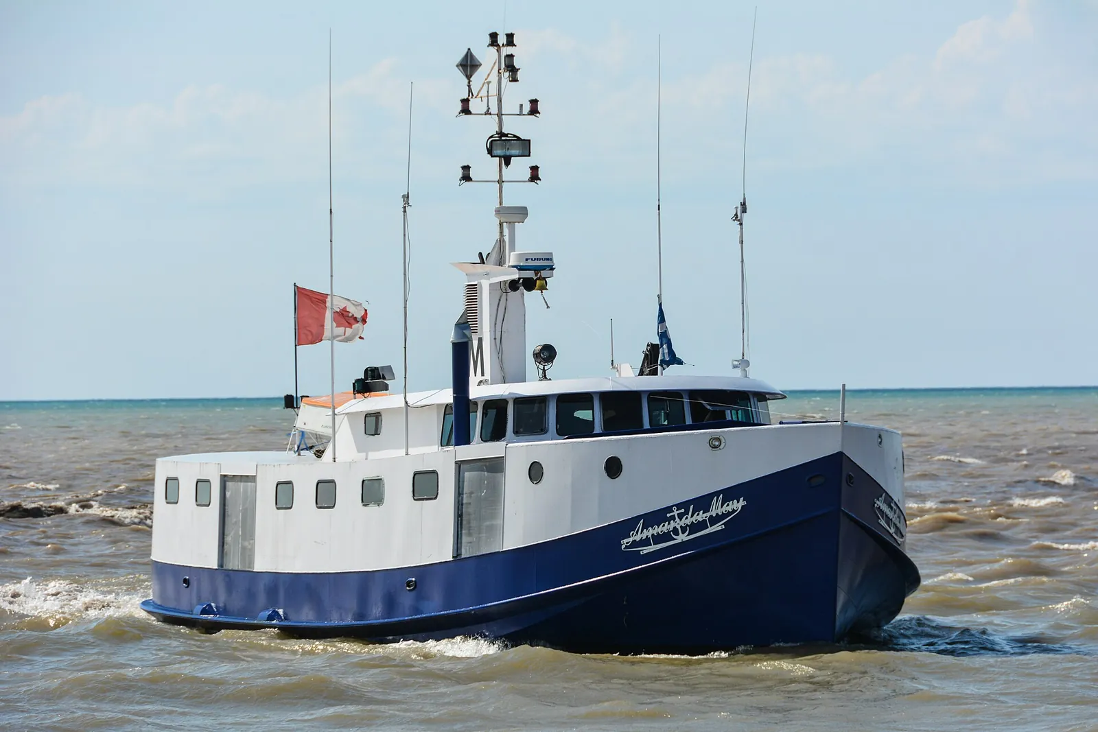
Photo: Gordon Leggett, CC BY-SA 4.0, via Wikimedia Commons
Every people who lived on this shore came for the fish first. For the Anishinaabeg the calendar turned on them: lake sturgeon running up the rivers in spring, some of them two metres long and older than the people who speared them; lake whitefish and lake herring, the cisco, crowding onto the shoals to spawn in November, taken with gill nets of twisted nettle and basswood and dried or smoked against the winter; lake trout in the deep water; pike, walleye and perch in the river mouths and the marshes. The adzes and axes found in the Bayfield River flats were for dugouts and fish weirs as much as for anything on land. The river mouth was the point of the whole place.
The settler fishery followed the same fish into the same water, with bigger boats. By the 1860s Bayfield was known as a fishing port as well as a grain port, and the catch, whitefish, pickerel and perch, went by schooner and later by rail to Toronto, New York and Chicago. Steam and then diesel fish tugs, the enclosed, blunt-nosed Great Lakes boats built to set gill nets in November weather, worked out of the harbour through the twentieth century. And then the lake changed under them. Sea lamprey came through the Welland Canal and by the 1950s had all but wiped out the lake trout. Alewife and smelt filled the gap; whitefish and herring thinned. In the 1960s Ontario and Michigan began stocking Pacific salmon to eat the alewife, and for forty years Bayfield had a second fishery, a sport fishery, with charter boats running out of the harbour for chinook and coho and anglers lining the pier and the river for the autumn run of rainbow trout. Then the alewife crashed in 2003 and 2004, the salmon starved down with them, and zebra and quagga mussels, arriving in ballast water, carpeted the lake bottom and filtered the plankton out of the water column. The lake is clearer now than any living person has seen it. It is also hungrier. Lake whitefish, the fish that fed this shore for ten thousand years, are now at the edge of collapse across the upper Great Lakes, and the Lake Huron catch is a fraction of what it was a generation ago.
Yet the fishing has not stopped. Lake trout, the native fish the lamprey nearly erased, are reproducing on their own again in Lake Huron for the first time in sixty years, one of the quiet conservation successes of the continent. Walleye have surged in Saginaw Bay and along the Ontario shore. A small commercial presence still works out of Bayfield and the neighbouring ports, and fresh perch and pickerel are still sold off the dock in season. Charter captains still run for lake trout and the salmon that remain, and in October the Bayfield River still fills with rainbow trout and the people who wait for them. The Saugeen Ojibway and the Treaty 29 nations hold court-recognized commercial fishing rights on the lake and run their own fisheries, the oldest continuous enterprise on this water. The fish are different, fewer and harder won than they were in 1832 or in 1532. But the river mouth is still a fishing place, and on a November morning with the tugs going out past the pier light, you can see what the baron saw and what the Anishinaabeg saw long before him.
VIII. The unfinished work
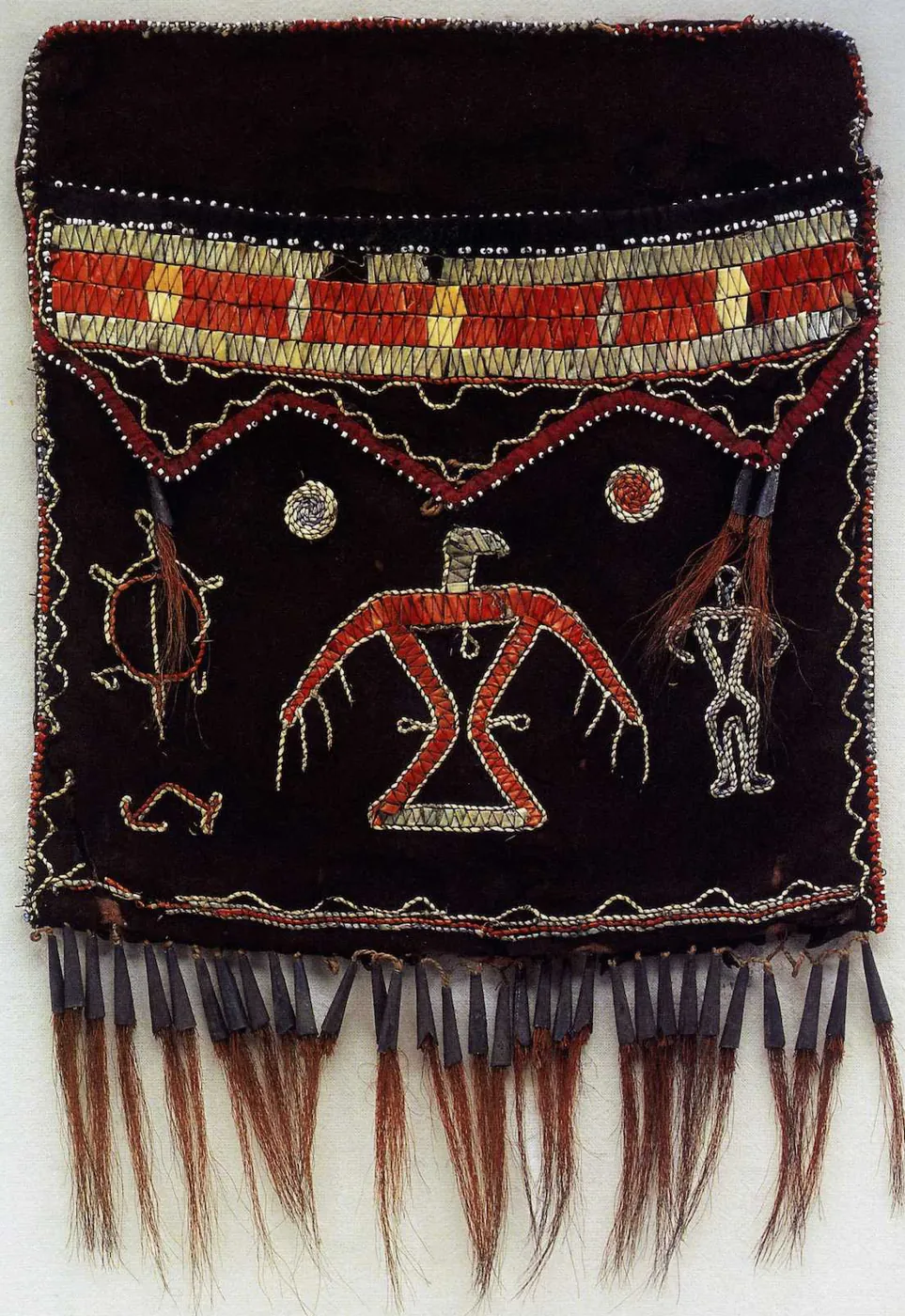
Image: Metropolitan Museum of Art, public domain, via Wikimedia Commons
A provincial order joined five municipalities on January 1, 2001, and gave them a shared name: 416.7 square kilometres, 7,540 people, the lake on the west, the Bayfield River on the north, Highway 4 on the east. It did not make them the same, and it did not settle the oldest account.
That work goes on, quietly and close to home. The Bayfield Historical Society, led in this by Jordan George of Kettle and Stony Point, has begun documenting the ten thousand years the county’s histories used to skip, recovering the Anishinaabe and Iroquoian names for the rivers and the lake and the sites that became towns. The Ausable Bayfield Conservation Authority opens its meetings by naming the Haudenosaunee and Anishinaabe as the original stewards of the watershed and the Dish with One Spoon as the covenant it works under. These are small acts. They are also the right ones, and they are how a place begins to tell the truth about itself.
The Anishinaabeg fished the river mouth and never left. The baron chose the harbour, the Pettys chose the railway, Knell chose the mill site, and the farm families chose to stay, through the gas surveys and the wind leases and every price of beans. Bluewater is all of those people, and the measure of the place will be how fully it honours the first of them. That is the whole story, and it deserves telling with gratitude and with debts acknowledged.
Sources
Indigenous history and treaty
- A Brief History of Indigenous People in Huron County: Who Lived Here? (Bayfield Historical Society)
- Nanda Kinomaagewin, Introduction to Indigenous History (Bayfield Historical Society)
- New Indigenous research project underway in Huron County (CTV News London)
- Territory acknowledgement (Ausable Bayfield Conservation Authority)
- Huron Tract Treaty (Treaty 29) and how the treaties have been broken (AMDSB Indigenous Education)
- Pre-settlement county history (Huron County Branch, Ontario Genealogical Society)
- Neutral Confederacy (Wikipedia)
- The secrets of the Mnjikaning Fish Weirs (Anishinabek News)
Ipperwash and the Clench claim
- The Ipperwash Final Settlement Agreement: A Journey Toward Reconciliation (Crown-Indigenous Relations and Northern Affairs Canada)
- Ipperwash Crisis (The Canadian Encyclopedia)
- 20 years after Ipperwash crisis, First Nation accepts $95M offer (CBC News)
- Chippewas of Kettle and Stony Point and Aamjiwnaang First Nations accept land claim offer this fall (Anishinabek News)
- Historical Background of the Clench Claim (Aamjiwnaang First Nation)
Municipality and villages
- Bluewater, Ontario (Wikipedia; 2021 Census figures)
- The Founding of Bayfield, provincial plaque (Ontario Heritage Trust)
- The History of Bayfield, Ontario (Small Town Canada)
- Bayfield, Ont. honouring its unknown namesake (CTV News London)
- Hensall, Ontario (Wikipedia)
- A Brief History of Hensall (Village of Hensall)
- The White Bean Capital of Canada (South Huron Agricultural Heritage Society, Hensall)
- Banner 5, Mr. Drysdale and Mr. Bonthron (Village of Hensall)
- Village of Zurich (Municipality of Bluewater)
- Zurich, Ontario (Wikipedia)
- Gary Flaxbard, German settlement of Zurich and area (Huron County Branch, Ontario Genealogical Society)
- Stanley Township (Huron County Ontario GenWeb)
- Stanley Settlement genealogy index (Carleton University)
- Zurich Bean Festival, History (Zurich Bean Festival Committee)
Agriculture
- Local Snapshot: Huron County (Ontario Federation of Agriculture)
- Agriculture in Huron County (County of Huron)
- Setting the Stage: farm succession in Huron County (County of Huron)
- Hensall Co-op and Ontario’s 120,000 acres of dry beans (Farms.com)
- Hensall Co-op buys bean processing facility (Sarnia News Today)
Geology, gas and salt
- Silurian reef play in Ontario and Michigan (Phillips, Ontario Petroleum Institute 2017, via OGSR Library)
- Michigan Basin oil and gas play, Ontario (Carter, Ontario Petroleum Institute 2017, via OGSR Library)
- Gas storage in a pinnacle reef (Wat on Earth, University of Waterloo)
- Bedded Salt in Ontario: Geology, mining, hydrocarbon storage, and oil and gas reservoirs (AAPG Search and Discovery)
- Exploring for and extracting oil, natural gas and salt resources (Ontario.ca)
Wind
Tourism and the shore
A note on sourcing. Three statements rest on general knowledge rather than a page opened for this piece: that the Goderich mine is the world’s largest underground salt mine; the broad Lake Huron fisheries timeline (sea lamprey, salmon stocking, the 2003–04 alewife crash, the lake trout recovery and walleye rebound); and the Saugeen Ojibway commercial fishing rights. Hensall’s incorporation year is given as 1889 by one local source and 1896 by another, so the text avoids naming it. No named gas pool inside Bluewater’s boundaries could be confirmed, and no named commercial fishing operator in Bayfield; both are described in general terms. Photographs are from Wikimedia Commons and credited beneath each one.
On this site
- How Bedrock works with the community: landowner consent, restoration and investing here.
- Questions and answers: what neighbours, councillors and reporters have asked.
- Virtual public meeting, May 29, 2023: the recording and the presentation.
Share this page
LinkedIn